Multiple Days With Severe Potential For Oklahoma
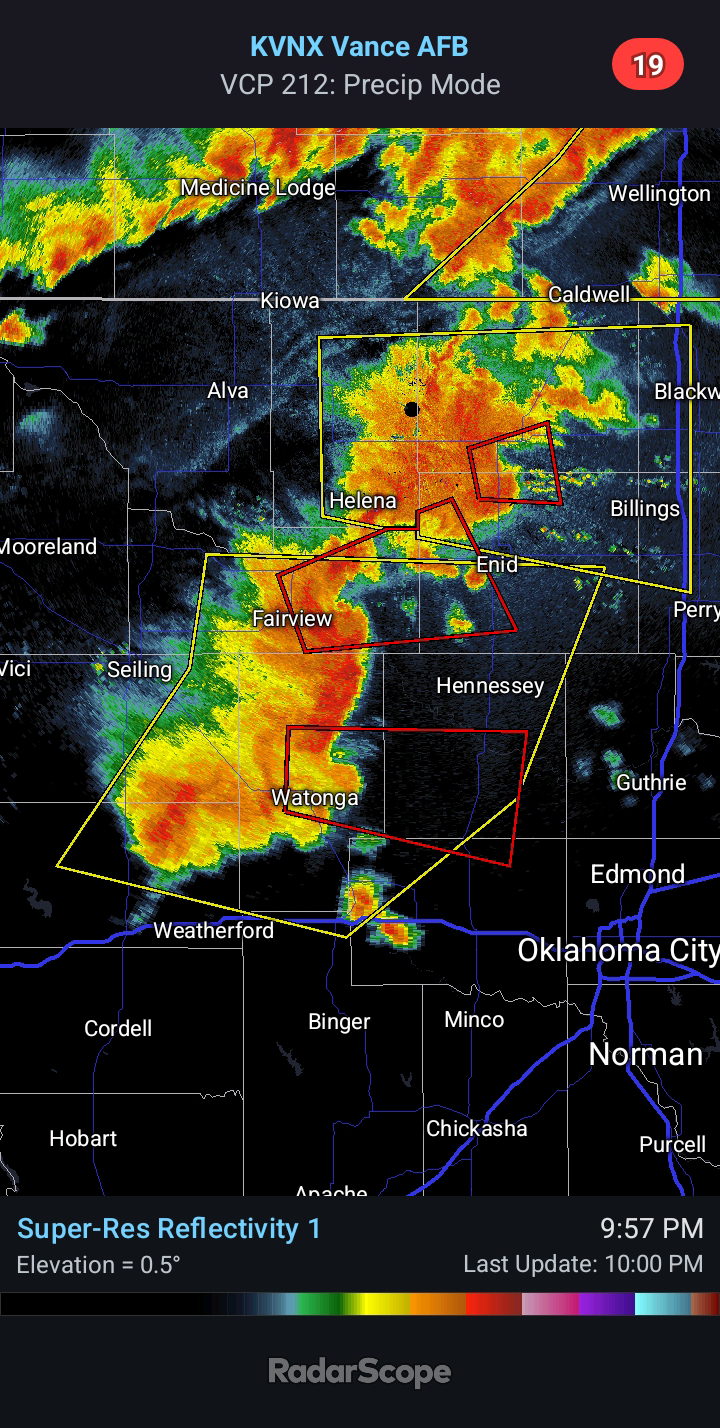
6:30 PM CDT - Several more days of thunderstorms will impact Oklahoma. Yesterday, we saw the Tornado near Norman and Newcastle. There was another Tornado near the Oklahoma/Kansas state line. Isolated Severe Storms will be possible tomorrow afternoon; however, the greater risk will evolve Thursday evening. A large cluster or MCS (meso-convective system) is expected to develop and push east-southeast across the state into early Friday morning. Large Hail, Damaging Winds, and isolated Tornadoes will be possible.
There should be an outflow boundary in play on Friday, which will be a focus for thunderstorm development late Friday afternoon and evening. Where this boundary sets up will be key to where a more enhanced risk will evolve. I believe an Enhanced Risk will be warranted in future outlooks for parts of the state. This appears most likely between I-40 and the Red River Valley. Model guidance is in good agreement on yet another cluster taking shape Friday evening. Large Hail, Damaging Winds, and a few Tornadoes will be possible. The Tornado Risk will be greatest in the vicinity of the boundary.
More Severe Weather is possible on Saturday, particularly across the southern half of the state. Similar hazards will exist, but details are still getting ironed out. A more enhanced risk could evolve depending on how the prior days' storms unfold. I will be posting periodic updates here and on the Facebook page. Be sure to check back. Stay safe, everyone.


Comments
Post a Comment