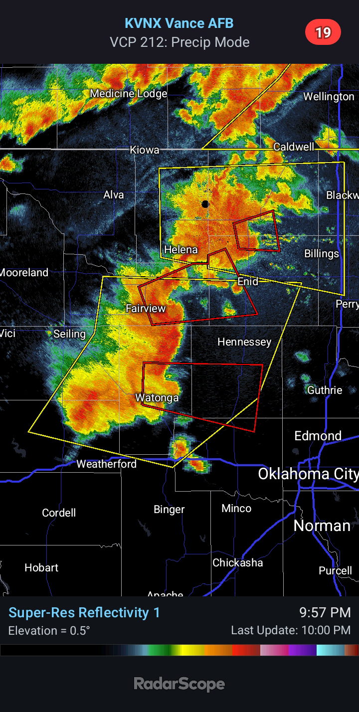
Bow Echo Moving Across State, What To Expect Into Early Monday
4:40 AM CDT - A bow echo is moving across the state early this morning as expected. There have been a few Tornado Warnings and multiple Severe Thunderstorm Warnings with the line. It is running 1-3 hours ahead of schedule from what the models suggested. This increases the likelihood for the environment to recover for a renewed severe threat by early evening.
This aligns with what was discussed a couple days ago on the blog, which was an elevated severe risk likely developing somewhere between I-40 and the Red River Valley. The current SPC Day 1 Outlook (seen below) will likely trend toward this with future updates. I anticipate a window for a few supercells capable of Golf Ball-size Hail, Damaging Winds, and a few Tornadoes after 6:00 PM. This is in addition to the severe risk associated with another MCS (meso-convective system) Friday night into Saturday morning.
The risk for Severe Weather will continue periodically into early Monday morning with the risk potentially peaking Sunday evening across Southwest Oklahoma. The current Enhanced Risk on Sunday/Sunday night will likely be brought farther north through Elk City and Lawton as we get closer. There is the potential for an intense derecho with Damaging Winds of 80-90 mph, Large Hail, and a few Tornadoes.


Comments
Post a Comment