Severe Weather LIVE BLOG - Monday, May 19, 2025
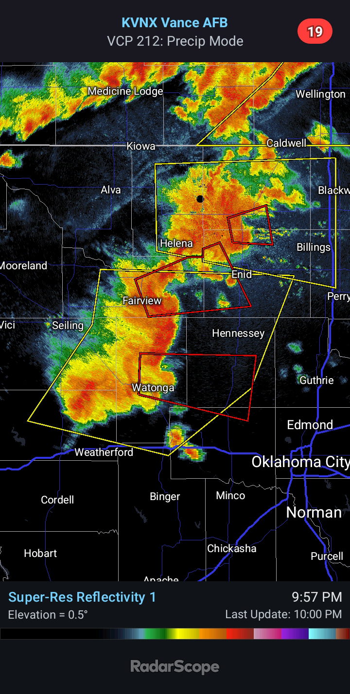
12:30 PM CDT - A TORNADO WATCH is in effect until 7:00 PM for Central and Eastern Oklahoma. There are several supercells ongoing ahead of the dryline. The most intense cell appears to be headed toward Shawnee, and it is exhibiting some rotation on radar.
Additional storms will fire along the dryline between 2:00 and 4:00 PM. This boundary will likely reach El Reno by 5:00 PM. Strong Tornadoes are a possibility, in addition to Very Large Hail and Damaging Winds.


Comments
Post a Comment