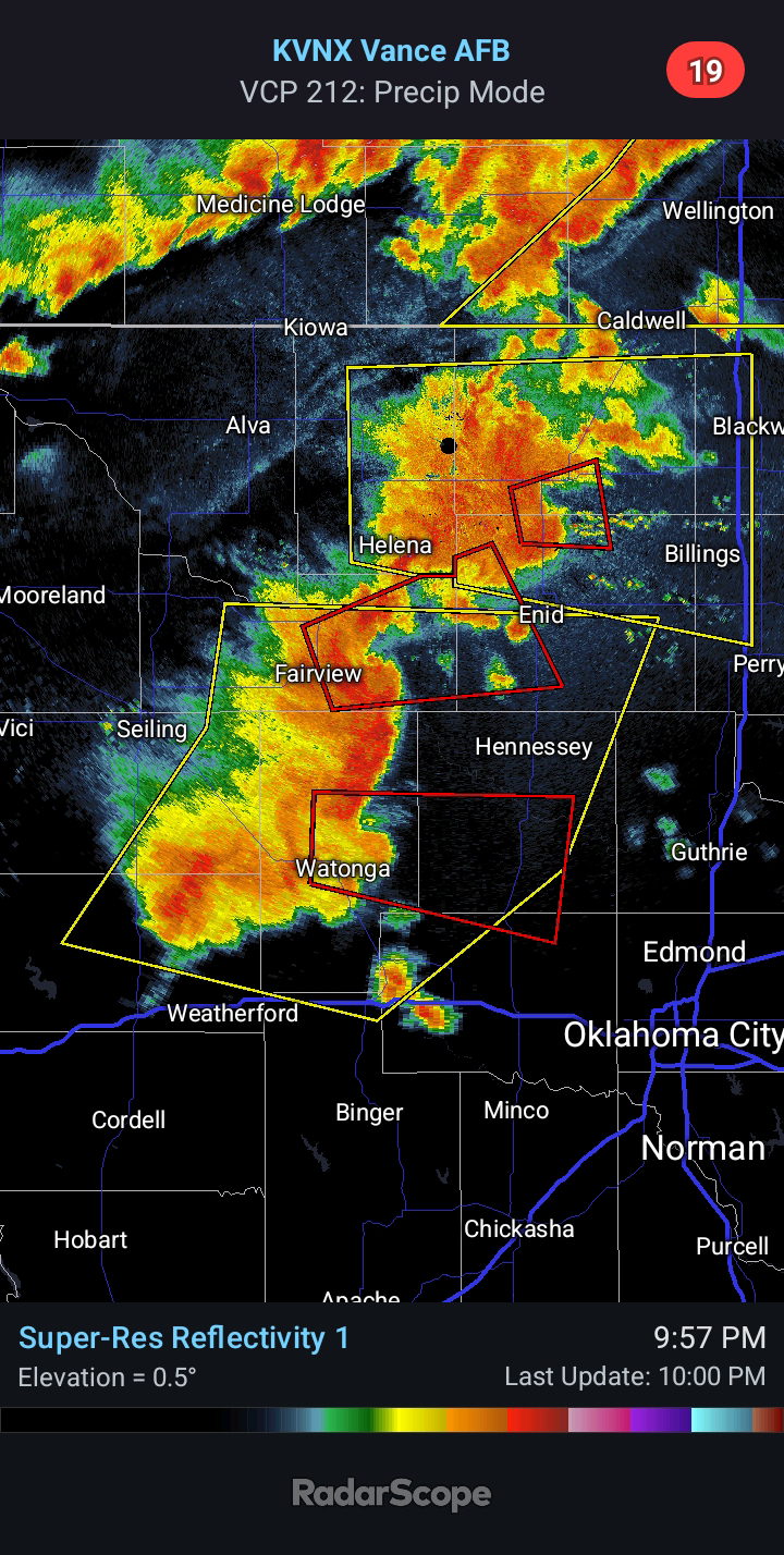
Severe Weather LIVE BLOG - May 24, 2025
9:20 PM CDT - TORNADO WATCH is in effect until 4:00 AM for parts of Western Oklahoma. Two distinct cells are ongoing at this time - one severe storm 35 miles NW of Elk City and another intensifying storm 20 miles NW of Watonga. Motion with any mature cell will generally be toward the southeast.
8:00 PM CDT - Cells have begun to initiate north of Clinton and north-northwest of Elk City... TORNADO WATCH likely for portions of West Central Oklahoma.
6:55 PM CDT - This morning's outflow boundary is the focus for evening storm development. An Enhanced Risk for Very Large Hail and Tornadoes exists. Early indications are that initial storms will form to the north of Clinton and Weatherford and track southeast or south-southeast.


Comments
Post a Comment