Severe Weather LIVE BLOG - May 1, 2025
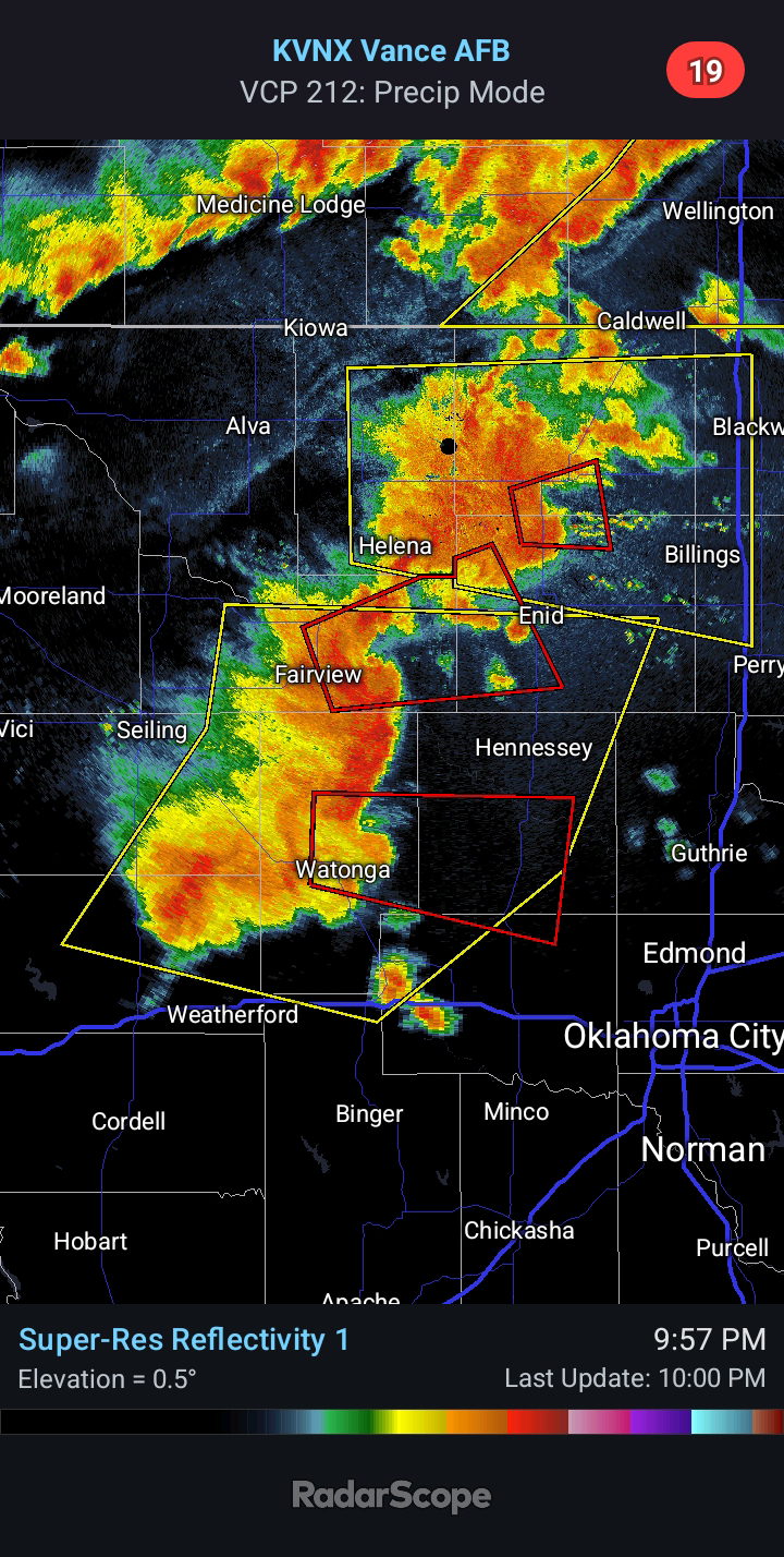
9:10 PM CDT - A cluster of storms continues across the Texas Panhandle this evening. At its current rate, it will move into Western Oklahoma around 11:00 PM tonight. The leading edge should be near Clinton around midnight. Then approaching El Reno around 1:30 AM. Several models show this activity becoming very well organized with additional storms developing in advance of it, particularly near a frontal boundary across South Central Oklahoma. Damaging Winds of 60-75 mph and Quarter to Golf Ball-size Hail will be possible. A couple Tornadoes are a possibility (1) along the leading edge of any bowing segments and (2) with storms tracking along the frontal boundary.
7:00 PM CDT - Strong to Severe Storms are ongoing in the Texas Panhandle. This activity will continue toward the east and southeast this evening. The SPC has broadened the Slight Risk and added the potential for significant hail and wind for parts of the state this evening and into early Friday morning. I would not be surprised to see an upgrade to an Enhanced Risk in an hour with the next update. I also believe the Tornado Risk currently limited to Southeast Oklahoma will expand north and west.


Comments
Post a Comment