Active May 23rd-25th Period About To Unfold
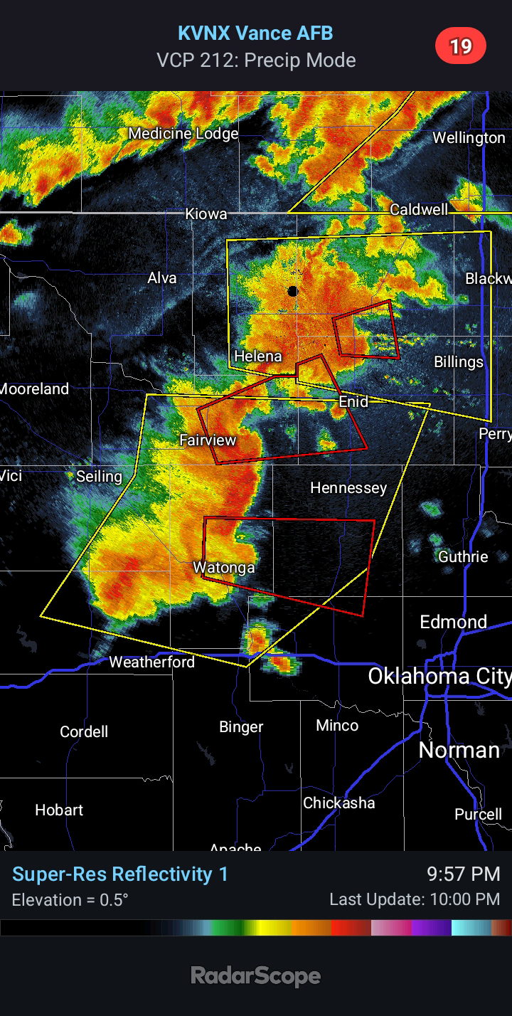
11:15 PM CDT - Back on May 6th, I mentioned multiple periods we would have increased severe potential. One period mentioned was May 23rd through the 25th. This was based on the recurring cycle theory. Today, we saw some Severe Storms across Southern Oklahoma and Northwest Texas. This activity produced significant hail larger than softballs.
Tomorrow, we will see the potential for Very Large Hail, Damaging Winds, and even a couple Tornadoes. Severe potential will be locally greater near any outflow boundaries. While isolated Severe Weather is possible during the daytime, I am more concerned with the evening potential. I honestly cannot discount a Strong Tornado, given the expected environment. I anticipate a southwestward expansion of the Slight Risk in future outlooks.
On Saturday, there will be a Slight Risk for Severe Weather across portions of Western/Central Oklahoma. Very Large Hail, Damaging Winds, and a couple Tornadoes will be possible again. The environment will not be quite as extreme, so more in the Golf Ball to Baseball-size Hail vs up to Softball-size on Friday.
Sunday/Sunday night will feature the best chance for thunderstorms. I anticipate a northward and eastward expansion of the Slight Risk. Large Hail, Damaging Winds, and a couple Tornadoes will be possible. We are unlikely to see the more significant hail sizes on Sunday. Damaging Winds could become the primary hazard by Sunday night as activity merges into a forward-propagating MCS.
I will update the blog and Facebook page as time allows through the weekend. Stay safe, everyone!


Comments
Post a Comment