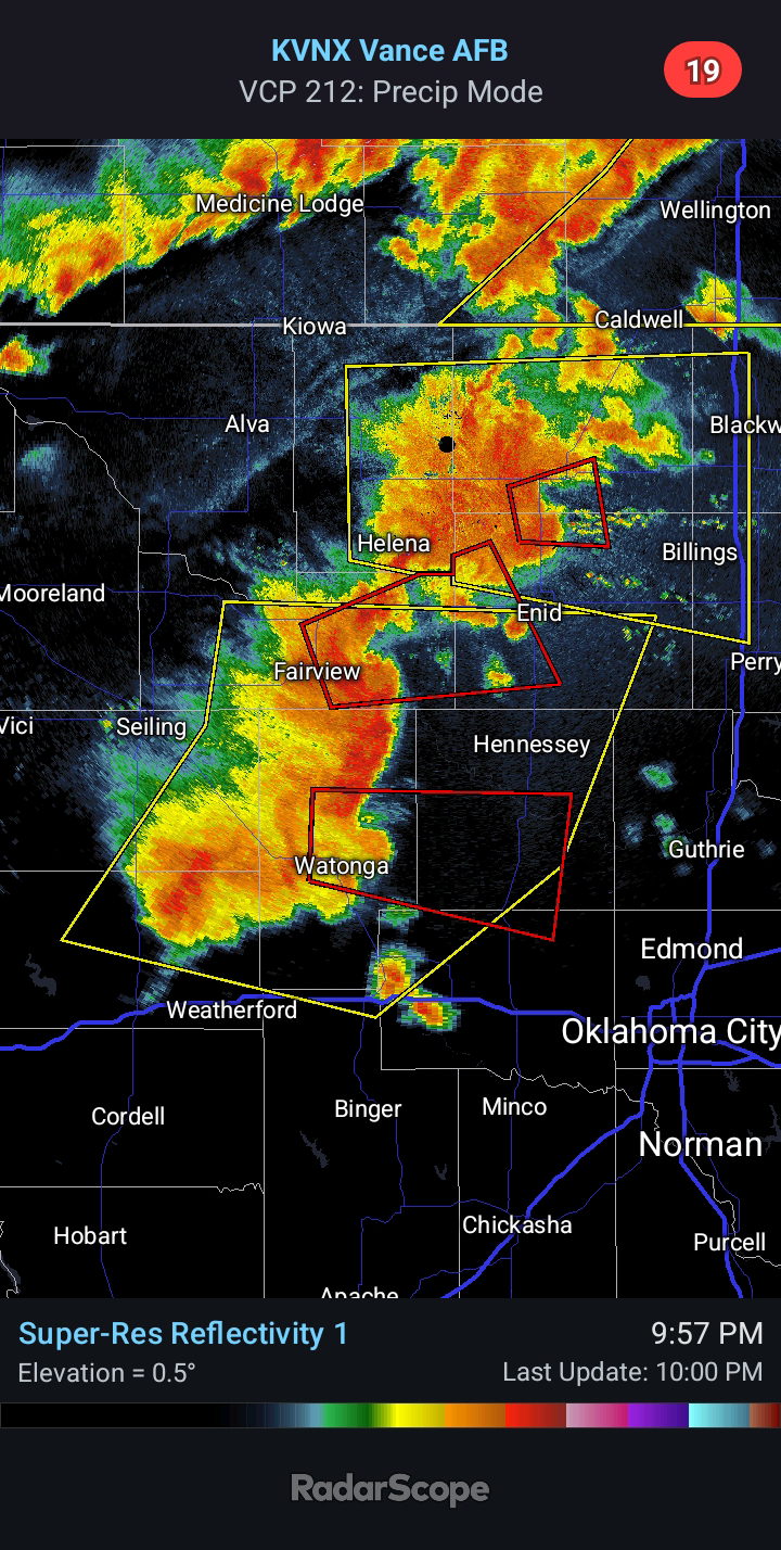
Thursday Night Large Hail Risk, Especially Along/S Of I-40
3:10 PM CDT | April 30, 2025 - The break in Severe Weather will be short-lived after this evening. A fast-moving disturbance will kick off convection late in the day tomorrow in the High Plains. I would anticipate an extension of the Marginal Risk through the Oklahoma Panhandle. This activity will track east-southeast with an attendant risk for Large Hail and Strong/Damaging winds. Additional storms will develop in Southern Oklahoma, near the warm front, after midnight. Main hazard will be Quarter to Golf Ball-size Hail, followed by Damaging Winds to 65 mph. A brief Tornado or two cannot be ruled out. The risk will continue into Friday morning as activity shifts east and southeast.


Comments
Post a Comment