Severe Weather LIVE BLOG - April 28, 2025
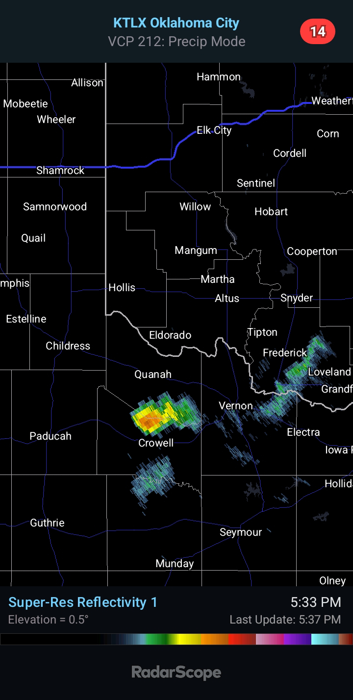
5:35 PM CDT UPDATE - First storm of the day has fired in far NW TX, in the vicinity of earlier radar pulsing. It is tracking northeast.
4:15 PM CDT UPDATE - A TORNADO WATCH is in effect until 11:00 PM from Central Oklahoma through Western North Texas.

3:55 PM CDT UPDATE - Radar pulsing was seen from Dyess AFB Radar Site toward dryline between Childress and Altus. Storm development will be likely in this general area of far SW OK/NW TX.

8:25 AM CDT UPDATE - The SPC upgraded parts of the state to an Enhanced Risk of Severe Weather for later today and tonight. Most significant risks will be Large to Very Large Hail and a few Tornadoes, one or two of which could be strong and/or long-tracked.


Comments
Post a Comment