SEVERE WEATHER LIVE BLOG - March 29, 2025
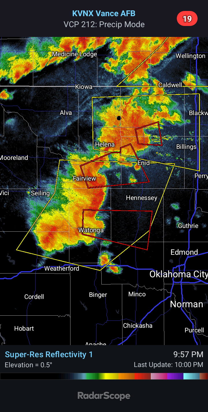
9:10 PM CDT - Strong to Severe Thunderstorms continue to develop across Western/Northern Oklahoma this evening. I expect the most intense activity to evolve along the southern edge of the evolving cluster. This is currently located near/SW of Elk City. Current projection would take it along the I-40 corridor over the next couple of hours, where I drew a black polygon. I honestly do not know why the SPC/NWS did not include cities such as Elk City (which is currently under a Severe T-Storm Warning), Clinton, and Weatherford in the Tornado Watch.
Farther south, there is a supercell approaching Duncan and Marlow from the southwest. I have it circled in black. Large Hail and Damaging Winds are the main hazards at this time.
7:00 PM CDT - The SPC/NWS is likely to issue a TORNADO WATCH soon for portions of Western/Central Oklahoma. Very Large Hail, Damaging Winds, and a few Tornadoes are all possible. Storm initiation is expected in the next hour.


Comments
Post a Comment