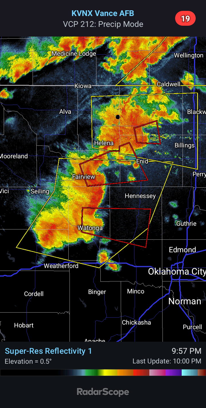
2024/04/30 - Strong Storms Firing In Western Oklahoma Right Now
3:35 PM CDT | April 30, 2024 - Strong storms are developing near Weatherford right now. This activity is tracking toward the east-northeast at this time, but as updrafts strengthen, they will begin to turn more toward the right, or toward the E/SE. More agitated cumulus clouds are noted in Southwest Oklahoma, to the west of Lawton. Large Hail to the size of Golf Balls will be possible with the most intense storms through mid-evening. Damaging Winds are a secondary concern. The low-level wind shear is below late April/early May's standards today, which will help to mitigate the Tornado Risk; however, one or two cannot be ruled out.
Later today and this evening, Strong to Severe Storms will impact Northern Oklahoma. Upscale growth into a cluster is expected. It is becoming more likely that this activity will push an outflow boundary into Central Oklahoma tomorrow. This will impact tomorrow's Severe Weather risk if it does indeed happen. See my previous discussion for possible ramifications to Wednesday's risk.


Comments
Post a Comment