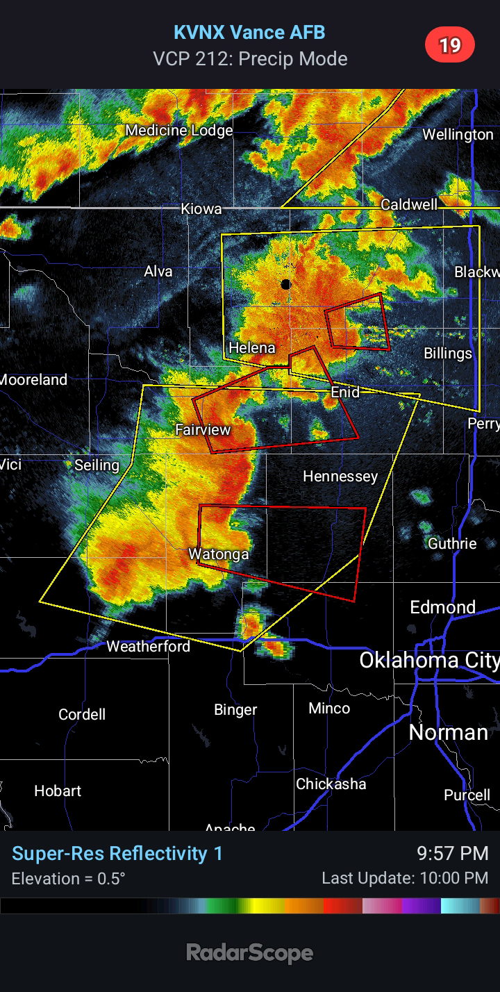
2024/04/29 - Widely Scattered Severe Storms Expected Next Few Days
7:30 PM CDT | April 29, 2024 - There will be a risk of Severe Weather over the next few days. The first chance will be late tomorrow afternoon as storms fire near a dryline to the west of US 81. Northern/Northeast Oklahoma will also be at risk for Severe Weather. The window for Severe Weather on Tuesday will be from roughly 4:00 to 10:00 PM. Large Hail up to the size of Half Dollars and Damaging Winds to 65 mph will be the main hazards. I outlined an area from Northwest Texas into West Central Oklahoma, where I personally believe they could upgrade to a Slight Risk in later outlooks.
The environment is going to be characterized by high moisture/moderate instability but fairly weak low-level shear. Any outflow boundaries would locally enhance the low-level wind shear, so an isolated Tornado cannot be ruled out. The threat appears very low, though.
Lastly, a few Severe Thunderstorms will be possible across at least the southeast third of the state as a cold front swings through... widespread severe is not expected. Wednesday will likely be the most active day in the near term. Thunderstorm chances will increase again this weekend, but the risk for severe appears generally low. A greater risk for Severe Weather may evolve early next week. I will update as needed in the coming days. Stay tuned.


Comments
Post a Comment