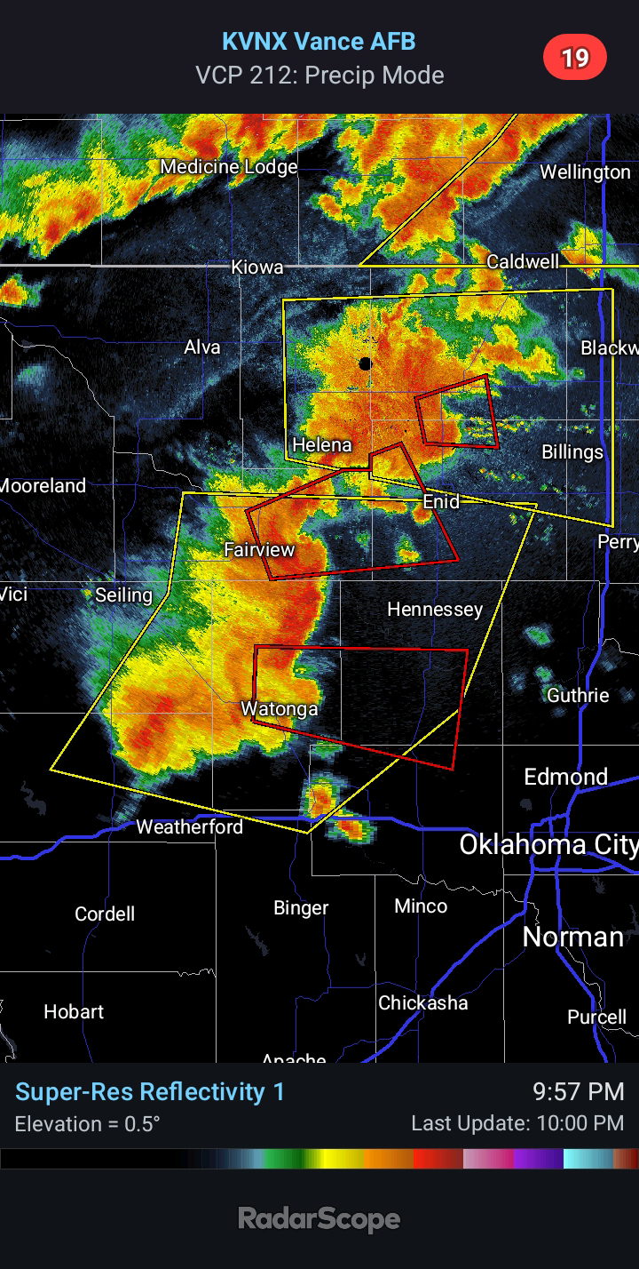
2024/04/12 - An Early Look At Monday's Severe Setup
I am concerned about the potential for a Severe Weather Outbreak on Monday. The Storm Prediction Center currently has the enhanced risk area from Northwest Texas into South Central Kansas. This includes a good portion of Oklahoma. Unlike the other setups this season, quality moisture return will not be in question. The models show 60°F dew points reaching Northern Oklahoma Sunday night.
The main uncertainty at this time is the capping inversion which could limit storm coverage until the arrival of the Pacific cold front Monday evening/night. Current thinking is that divergence aloft and surface heating in Northwest Texas and Southwest Oklahoma will be enough for at least widely scattered supercell development late Monday afternoon.
This will all be fine tuned in the next few days. I will draw up my own outlook as well to illustrate my own thoughts. Similar setups have produced significant severe episodes in the Plains, which is why it must be closely monitored. Now is a good time to review severe weather safety.


Comments
Post a Comment