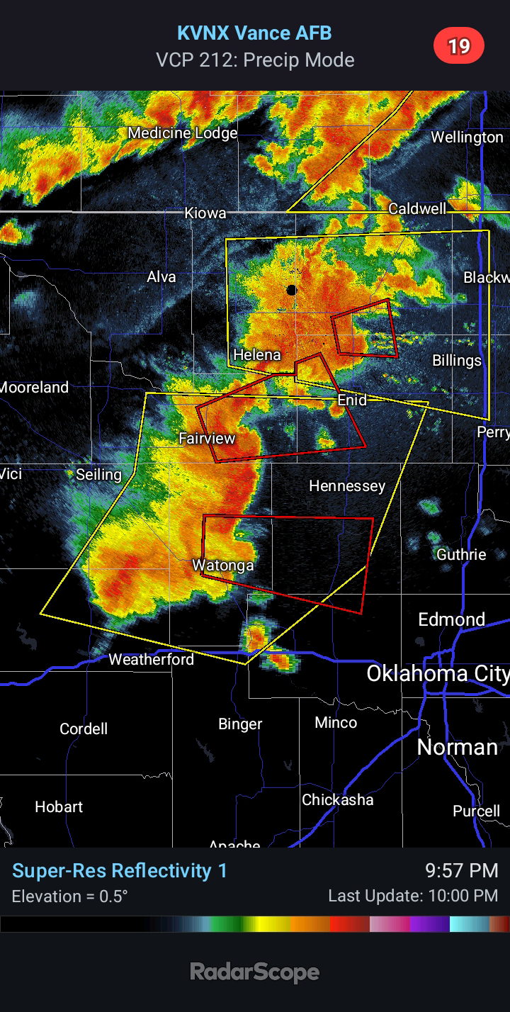
2:15 PM CDT | April 21, 2025 - Accountability is important, especially when you are following a page like this one which makes predictions a month out. Back on March 18th, I stated that there would be multiple opportunities for severe weather, including one after Easter - likely in the April 22nd-24th period. In subsequent posts, I added that we would see some potential right before the holiday and that Easter would be bookended by the potential for severe weather.
I have attached two graphics below. The first shows the storm-based warnings from 7:00 AM Friday, April 18th to 7:00 AM Sunday, April 20th (Easter Day). The red polygons are Tornado Warnings; the yellow polygons are Severe Thunderstorm Warnings; and the green polygons are Flood Warnings. Friday's cold front moved through much faster than anticipated which shunted the severe risk farther to the southeast. Nonetheless, severe storms still occurred. Additional severe weather occurred Saturday into very early Sunday morning.
The second graphic shows the storm-based warnings after 7:01 AM Sunday, April 20th (Easter Day). As predicted, the bulk of the bad weather occurred before Easter. There are a few warnings in far Eastern Oklahoma with the tail end of the activity exiting the state. I would say all-in-all, this part of the prediction fared very well.
The other part of the prediction is the risk of severe weather in the April 22nd-24th period. Today is a lull day as expected. Tomorrow, the risk for severe weather returns to Oklahoma with western portions favored. They have an area highlighted for Wednesday as well, but there is nothing highlighted for Thursday. This will change as some risk will exist on Thursday too.
All that said, the flow aloft is weaker than I would have expected this week. The wind fields are more like that of early summer, where we have heat-of-the-day dryline storms develop. Storm mergers are likely with upscale growth into small clusters. The clusters will leave remnant outflow boundaries in their wake which could be the focus for additional storms and a locally greater risk for severe weather. As the dominoes fall, adjustments can be expected with the risk areas.
Large Hail from the size of Quarters to Golf Balls, Damaging Winds of 60-70 mph, and a few Tornadoes will be possible during this period. I'm not seeing anything that would suggest a significant tornado risk this week, but the risk would be locally higher near any remnant boundaries.
As always, you can follow the
Facebook page to make sure you stay up-to-date!


Comments
Post a Comment